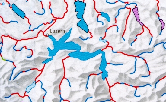
Hydrological Atlas of Switzerland – Plate 5.5


The 1:1 100 000 scale maps are intended to show to what extent the watercourses in Switzerland were still in a natural state or had been modified by the middle of the 19th century and by 1990. Since the scale of the maps is small, only the larger rivers and streams have been included. The tables indicate the bases used and provide further references.
In digital form:
Plate of the Atlas as pdf (31458kb)
Explanatory text (taken without changes from the Hydrological Atlas)
Table «Verzeichnis der verwendeten Grundlagen»
Top (of page)
