Hydrological Atlas of Switzerland – Plate 3.2

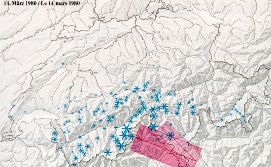
Map 3.2 consists of three individual parts on the subject of snow. Their point in common is the depiction of extreme conditions: depths of snow with a 100-year return period, maximum observed water equivalents, as well as depths of snowfall resulting from extreme events. It is these extreme events that influence and shape life in the alpine regions.
In digital form:
Plate of the Atlas as pdf (23598kb)
Explanatory text (taken without changes from the Hydrological Atlas)
Table «Verzeichnis der Stationen mit Angaben über extreme Schneehöhen»
Georeferenziertes Shapefile (.zip) - 1923kb
Top (of page)